Printable US Map Maker
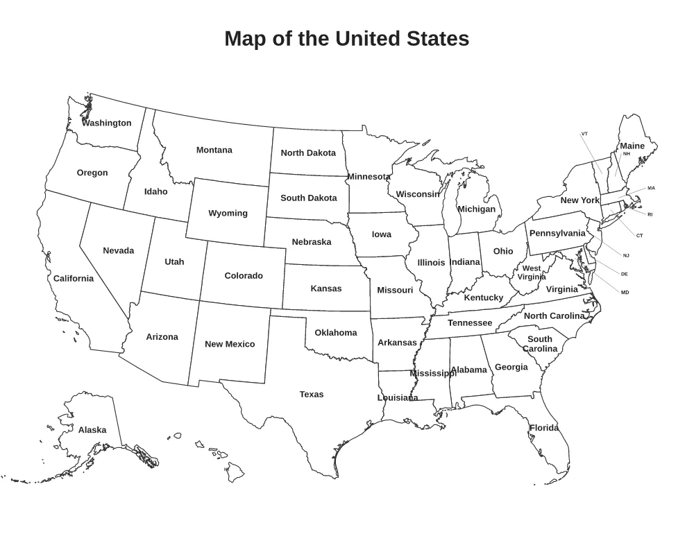
Print a map of the 50 states as a blank outline, with state names or abbreviations, with the state capitals, or by Census region. Make a numbered 50 states quiz with an answer key, or color the states you have visited.
Loading the US Map… Printable maps of the United States: blank, labeled with names or abbreviations, capitals, regions, a 50 states quiz with answer key, and a states-visited map.
How to Make Your US Map
- Choose your options. Change the settings and the preview updates right away.
- Check the preview. The preview shows the page exactly as it will print.
- Download or print. Click Download PDF or Download PNG, or Print to send it straight to your printer. Print at 100% (Actual size) so the measurements stay correct.
What You Can Change
- Map: Blank outline, State names, State abbreviations, States and capitals, 50 states quiz (numbered), US regions, States I have visited
- Colorful states (on or off)
- States visited (names or abbreviations)
- Title
- Answer key (second page) (on or off)
- Paper size: US Letter (8.5 × 11 in), A4 (210 × 297 mm), US Legal (8.5 × 14 in), A5 (148 × 210 mm), Tabloid (11 × 17 in)
- Accent color
Good For
- Geography lessons and state quizzes
- Learning the state capitals
- Tracking road trips and states visited
More Free Printable Generators
 State MapAny state: outline or county map
 World MapBlank, country names, continents or visited
 Continent MapSix continents: blank, labeled or quiz
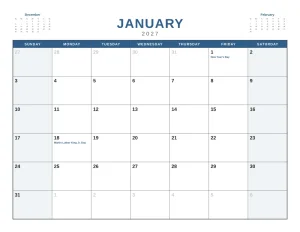 Monthly CalendarAny month and year, with holidays and notes
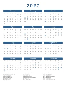 Yearly CalendarAll 12 months on one page
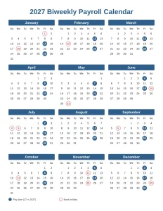 Payroll CalendarWeekly, biweekly, semi-monthly or monthly pay dates
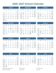 School Year CalendarAcademic year from July, August or September
 Shift Work Calendar2-2-3, 4 on 4 off, DuPont, 24/48 and more