Printable Continent Map Maker
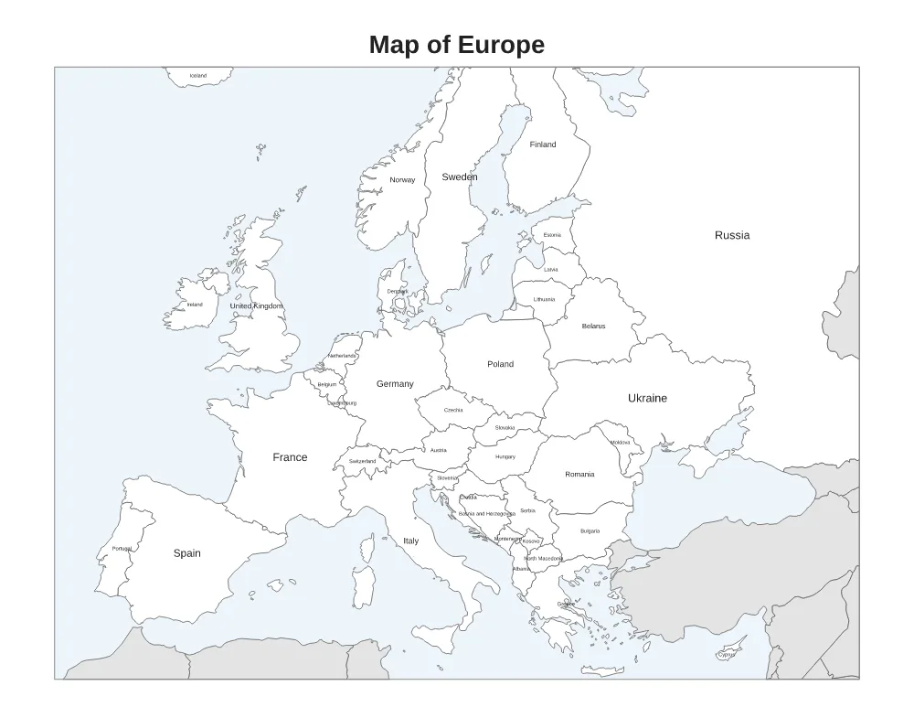
Print a map of North America, South America, Europe, Africa, Asia or Australia and Oceania. Choose a blank map, a map with country names, or a numbered quiz with an answer key.
Loading the Continent Map… Printable maps of North America, South America, Europe, Africa, Asia and Oceania: blank, labeled or a numbered country quiz.
How to Make Your Continent Map
- Choose your options. Change the settings and the preview updates right away.
- Check the preview. The preview shows the page exactly as it will print.
- Download or print. Click Download PDF or Download PNG, or Print to send it straight to your printer. Print at 100% (Actual size) so the measurements stay correct.
What You Can Change
- Continent: North America, South America, Europe, Africa, Asia, Australia and Oceania
- Map: Blank, With country names, Numbered quiz
- Colorful countries (on or off)
- Title
- Answer key (second page) (on or off)
- Paper size: US Letter (8.5 × 11 in), A4 (210 × 297 mm), US Legal (8.5 × 14 in), A5 (148 × 210 mm), Tabloid (11 × 17 in)
- Accent color
Good For
- Learning countries and capitals
- Geography quizzes and tests
- Social studies projects
More Free Printable Generators
 US MapBlank, labeled, capitals, regions and quiz
 State MapAny state: outline or county map
 World MapBlank, country names, continents or visited
 Monthly CalendarAny month and year, with holidays and notes
 Yearly CalendarAll 12 months on one page
 Payroll CalendarWeekly, biweekly, semi-monthly or monthly pay dates
 School Year CalendarAcademic year from July, August or September
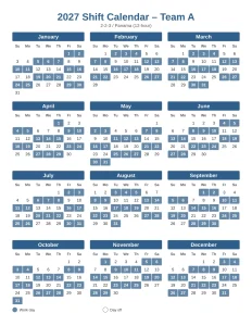 Shift Work Calendar2-2-3, 4 on 4 off, DuPont, 24/48 and more